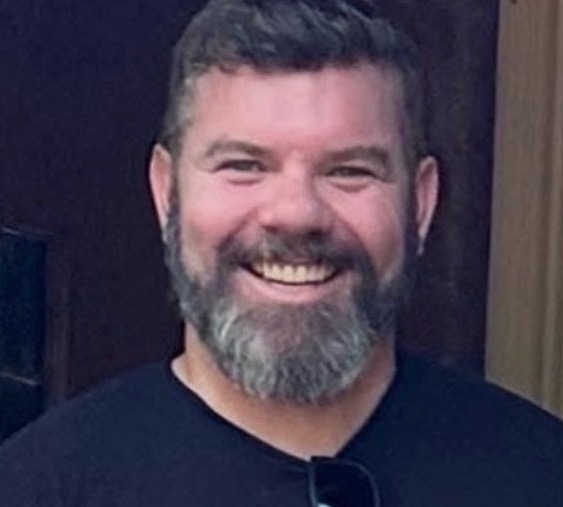
I’m Dara O’Beirne, a GIS developer, team leader, and educator based in Sacramento. Since 2007, my work has connected spatial data with public service, infrastructure, and the people who use it.
Dublin → San Diego → San Francisco → Sacramento
The geography behind the work
From Dublin to California.
I was born in Dublin, grew up in California, and earned both my geography degrees at San Francisco State University. That route still shapes my interests: how places change, how we describe them with data, and what people need from the maps we build.
Today I supervise the GIS Architecture team in the City of Sacramento’s Information Technology Department. My work spans enterprise systems, application development, integrations, and helping a technical team turn individual solutions into reliable shared workflows.
Alongside that work, I teach GIS programming and web mapping and build independent spatial applications and AI tools. Teaching gives me a reason to keep explaining the fundamentals; building gives me new questions to bring back to the classroom.
Municipal and state government, environmental consulting, engineering, and mapping.
October 2022–present
Principal Application Developer (Supervisor)
City of Sacramento · Information Technology
I supervise a GIS Architecture team of three, with responsibility for ArcGIS Enterprise and Online, enterprise geodatabases, FME, and integrations with work-order and 311 systems. I led the department’s first AI project, a public website and dashboard for 311 service-request metrics, and negotiated a three-year Esri Enterprise Agreement worth over $1.3 million.
August 2021–October 2022
Geospatial Architect (ITS III)
California Governor’s Office of Emergency Services · Cal OES
I built and led a team of seven GIS professionals, designed architecture spanning cloud and on-premise services, and coordinated an interagency emergency GIS data working group. My responsibilities included statewide evacuation data and mapping and dashboard initiatives supporting the State Operations Center, SCOUT, FIRIS, and Urban Search & Rescue.
September 2016–August 2021
GIS Specialist II → GIS Specialist III
City of Sacramento · Promoted June 2018
I worked on enterprise geodatabase migrations, the Open Data Portal, 311 address validation, and GIS integrations. A meter-route sequencing application I developed with Python and Web AppBuilder reduced staff time by about three weeks per route. I also delivered internal training in Python and enterprise geodatabase concepts.
August 2014–August 2016
Senior GIS Developer
Arini Geographics · Serving the City of Santa Clara
I converted water-utility AutoCAD data into enterprise GIS and integrated it with the Lucity maintenance-management system. I also developed a real-time mapping application used by the City’s police department at Levi’s Stadium events, including Super Bowl 50.
February–August 2014
GIS Coordinator
Marstel-Day · Environmental consulting
I supervised GIS staff, developed the GIS program, and led company-wide quality checks for cartographic production.
October 2007–February 2014
GIS / CAD / LiDAR Analyst & Team Leader
Towill, Inc. · Engineering, surveying, and mapping
I led GIS, CAD, and LiDAR project work, processed airborne laser data, built geodatabases, and automated tasks with Python and VBA.
May–October 2007
GIS Technician
National Park Service · Golden Gate National Recreation Area
I collected field data with GPS and assembled geodatabases and maps for the park’s General Management Plan.
Education, research & writing
Understanding the data. Explaining the method.
Master’s research · San Francisco State University
Measuring the Urban Forest
My thesis compared airborne LiDAR-derived tree heights with field measurements in San Francisco’s Panhandle and Antioch. It examined how point density, field instruments, and measurement uncertainty affect our understanding of urban trees.
A practical book about automating ArcGIS geoprocessing, mapping, and web GIS workflows with Python. Writing it drew on the same approach I use in teaching: build a working example, explain the choices, and give readers a method they can adapt.