 View screenshot ↗
Location intelligence
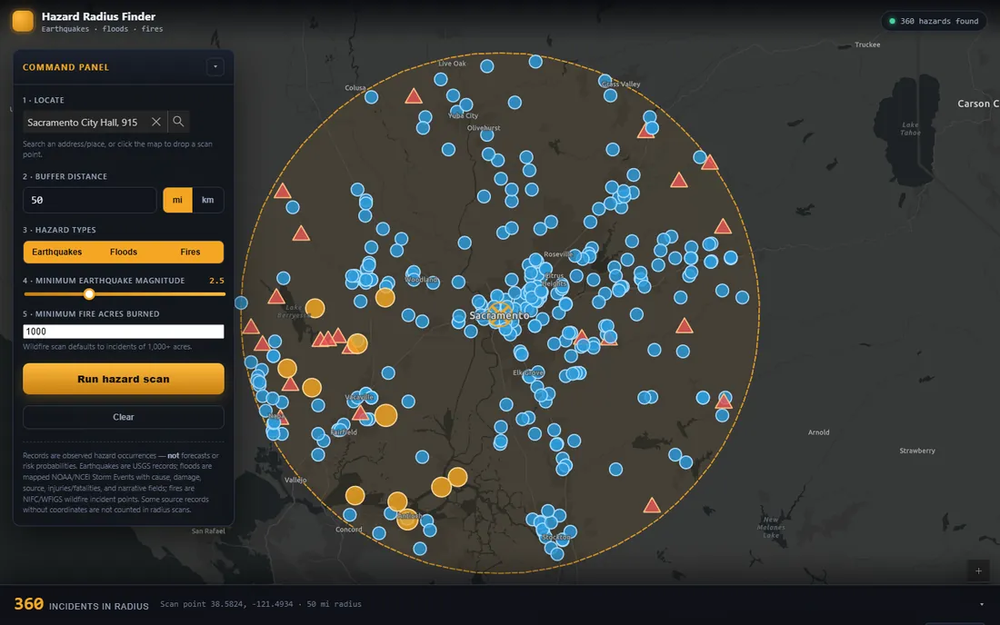
Hazard Radius Finder
Explore recorded earthquakes, floods, and fires around a location, with distance and severity filters.
Explore the app
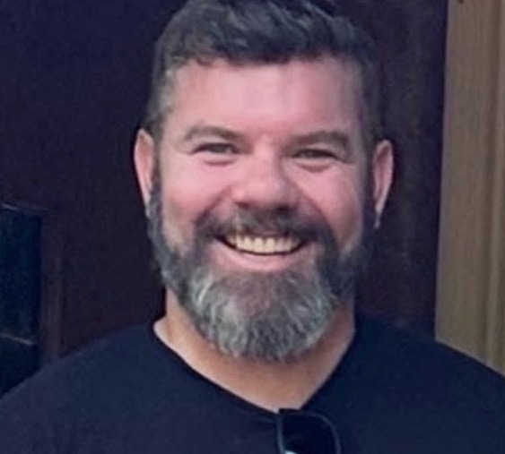
Geographer · GIS leader · Educator
I lead GIS programs, build spatial applications, and teach people how to use them.
My work connects public service, geographic analysis, and practical AI development.
Three ways to explore place, public data, and a changing environment.
View screenshot ↗
Location intelligence
Explore recorded earthquakes, floods, and fires around a location, with distance and severity filters.
Explore the app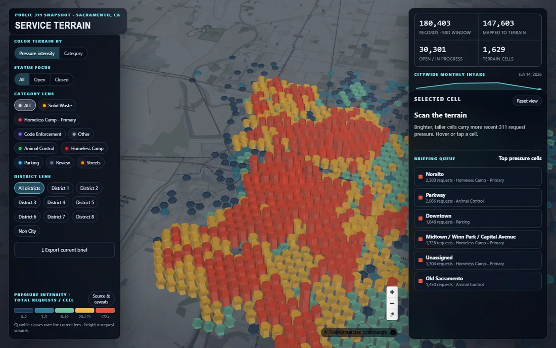 View screenshot ↗
Civic data visualization
A 3D landscape of a 90-day 311 snapshot. Explore recorded activity by category, status, and council district.
Explore the app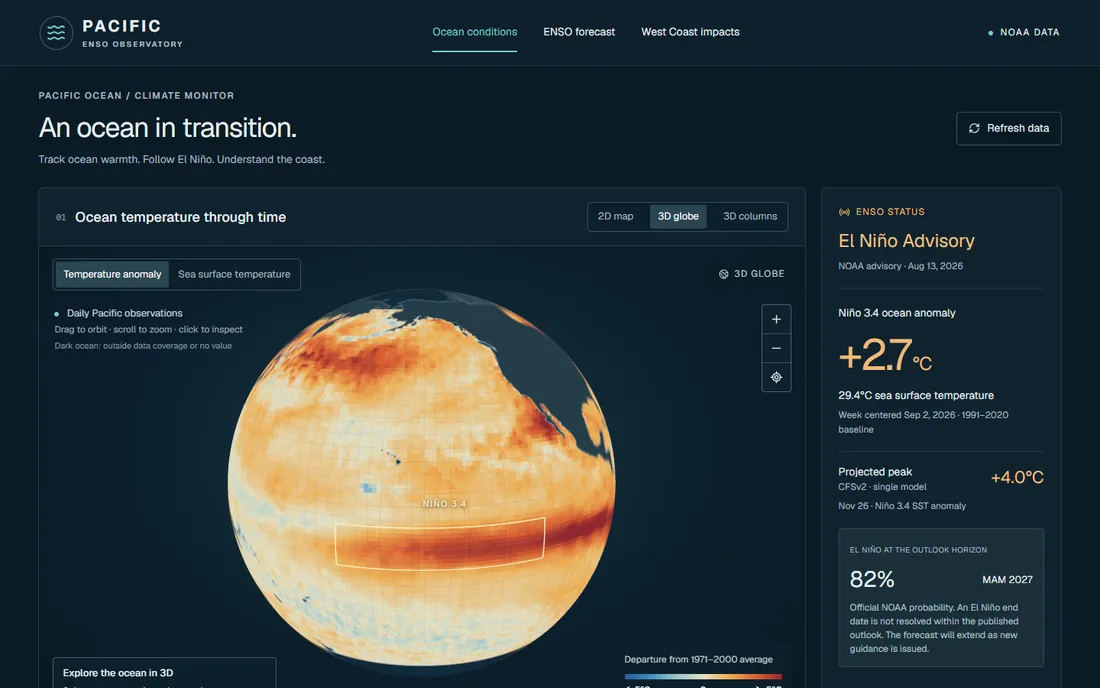 View screenshot ↗
Climate and geography
Explore Pacific Ocean conditions, ENSO forecasts, and West Coast context through maps and 3D views.
Explore the appI connect research, reusable GIS workflows, and AI agents to support the way I learn and build.
 View screenshot ↗
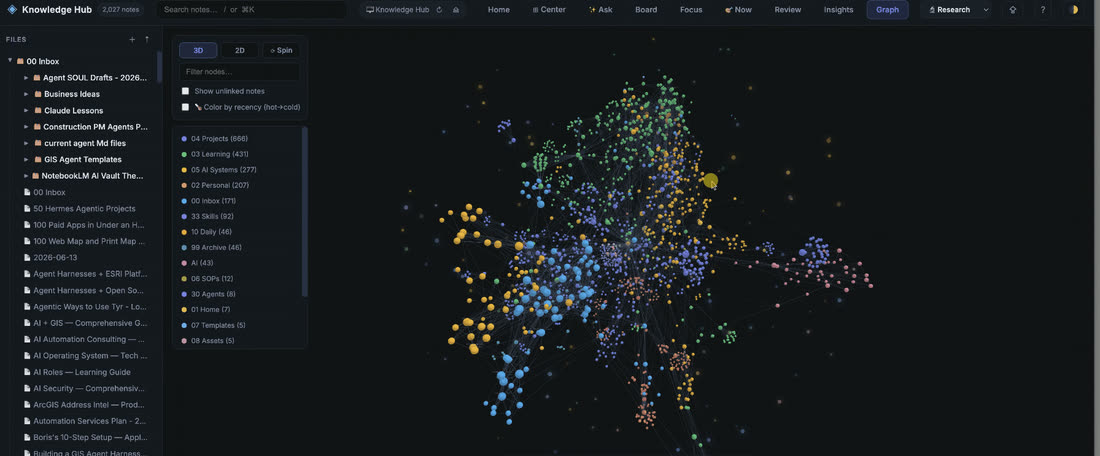
Personal knowledge & agent memory
An Obsidian-based system for research notes, project decisions, and reusable context for AI agents. Each project adds to what the next one can draw on.
Research → Connected notes → Context for agents
Explore my Second BrainGIS agents & reusable skills
I develop workflows for inspecting spatial data, building map applications, and checking results. Hermes GIS Skills brings that approach into a versioned library for AI agents.
Explore Hermes GIS SkillsPractical AI workflows
Research summaries, scheduled briefings, and monitoring connected to a person’s working context. I build around clear sources, reviewable outputs, and human judgment.
How I work with AIInterested in a GIS or AI workflow for your own work?
Talk through an ideaTeaching
Practical exercises in programming, web mapping, and spatial analysis that become useful workflows.
Experience and writing
Enterprise GIS, emergency management, and a research foundation in LiDAR and the urban forest.
ArcPy and ArcGIS
Co-author, second edition · 2017
More about meGIS and AI projects, professional opportunities, teaching, and speaking.